

SoDuCo
Social Dynamics in Urban Context
Summary
The SoDUCo project proposes to develop methods and models to study the evolution of the urban spatial structure in relation with social and professional practices of the population.
We will develop our study on the reconstitution of the evolution of Paris from 1789 to 1950 using two specific sets of sources: on the one hand, 16 master maps and the complete series of cadastral maps of the city and its suburbs, which describe the evolution of road networks and urban fabric and, on the other hand, for the same time period, street & trade directories, which provide the professional activities and/or the social status of people localized by their individual addresses.
As a proof of concept, we have constructed such databases from maps on a shorter time lap which demonstrated their importance for a better understanding of the dynamics of urban societies. Here, we propose a qualitative step forward by developping tools enabling to check, control and refine every information extracted from various historical sources. This will be possible thanks to the digitisation of these rich sources and to the collaborative approach that will be necessary at all stages of this project.
In addition to an important open database on the social and urban history of Paris, the main output of the project is an open collaborative geohistorical platform to validate, correct, enrich, link and complete the database, but also to analyse, visualise and interact with spatial and social co-evolution. Moreover, the developed platform will be reusable in other contexts on different time periods, other cities and other scales.
Objectives
Studying the co-evolution of the urban spatial structure and socio-professional practices of the population requires the digitisation and the linking of important amounts of primary geo-historical sources. In this project, we propose to develop methods, models and tools to study the evolution of the urban spatial structure (street networks and their transformations) in relation with social and professional practices of the population (locations, professional migrations, etc.).
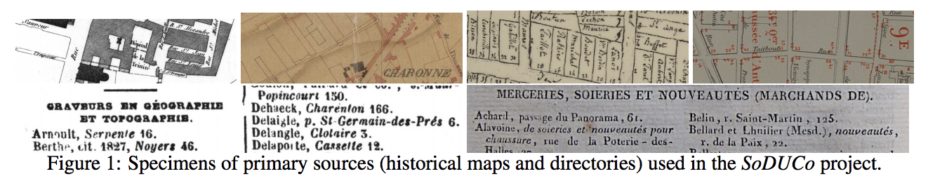
We will develop our study on the reconstitution of the evolution of Paris from 1789 to 1950 using two specific sets of primary sources (illustrated in Figure 1 page 1): several master and cadastral maps of the city and its suburbs, which describe the evolution of road networks and urban fabricand, for the same time period, street & trade directories, which give the professional activities and/or the social status of the population localised by their addresses.
This database aims to be the first complete address database of a capital city for a large time period and will allow the localisation of people, activities and other social phenomena from external sources provided by social scientists. An open source platform The main final product of the SoDUCo project will consist in the first unified, distributed, reusable and interoperable platform to handle geo-historical sources and their imperfections. It will allow the qualification of geo-historical sources (maps, directories, etc.), the semi-automatic extraction of the information they carry and their (spatio-temporal) matching. Finally, it will provide online tools for their validation, correction, enrichment, linking and (co-)visualisation.
The platform will aim at keeping a close relationship between the sources and the information extracted (manually or automatically) from them. It will also make it easy to add new primary sources to the system in order to guarantee a better continued use and reuse of the developed tools.


You must be logged in to post a comment.